Total population
191,687
A completely rural territory nestled within the Sulaiman Mountain Range: a rugged highland landscape centered around the iconic Takht-e-Sulaiman peak, Pakistan’s premier chilghoza (pine nut) forest belt, and a starkly underdeveloped frontier bordering South Waziristan and Afghanistan.
191,687
4,310 km²
1 tehsils · 7 union councils
| Indicator | Value |
|---|---|
| Total population | 191,687 |
| Tehsils | 1 |
| Union councils | 7 |
| Total area | 4,310 km² |
| Type | Count |
|---|---|
| Schools | 206 |
| Colleges | 2 |
| Facility type | Count |
|---|---|
| DHQ | 1 |
| RHC | 13 |
| BHU | 8 |
| Dispensaries | 7 |
| Station | Count |
|---|---|
| Police stations (Sherani District) | 2 |
| Total | 2 |
| Member | Constituency | Name (Party) |
|---|---|---|
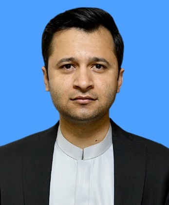 |
NA-251 Sherani-cum-Zhob-cum-Killa Saifullah | Mr. Khushal Khan Kakar (PKNAP) |
| Member | Constituency | Name (Party) |
|---|---|---|
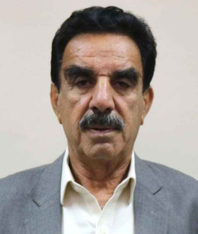 |
PB-1 | Dr. Muhammad Nawaz (Jamiat-e-Ulema Islam (F)) |
Roads are severely underdeveloped, relying on fragile mountain tracks that wash out during flash floods.
Piped water networks are virtually non-existent, forcing residents to fetch water from distant mountain springs.
Sherani lacks a functional DHQ hospital, leaving 191,000 residents without basic emergency or female healthcare staff.
Zero local industries and a 72% illiteracy rate force mass youth migration for survival.
Poverty forces residents into uncontrolled deforestation, destroying unique, economically vital Chilghoza pine and olive forests.